In an increasingly data-driven world, Geospatial Intelligence (GEOINT) has evolved into a cornerstone of modern decision-making. From national security and disaster response to business analytics and digital investigations, the ability to understand where something is happening and why it matters has become as important as the event itself.
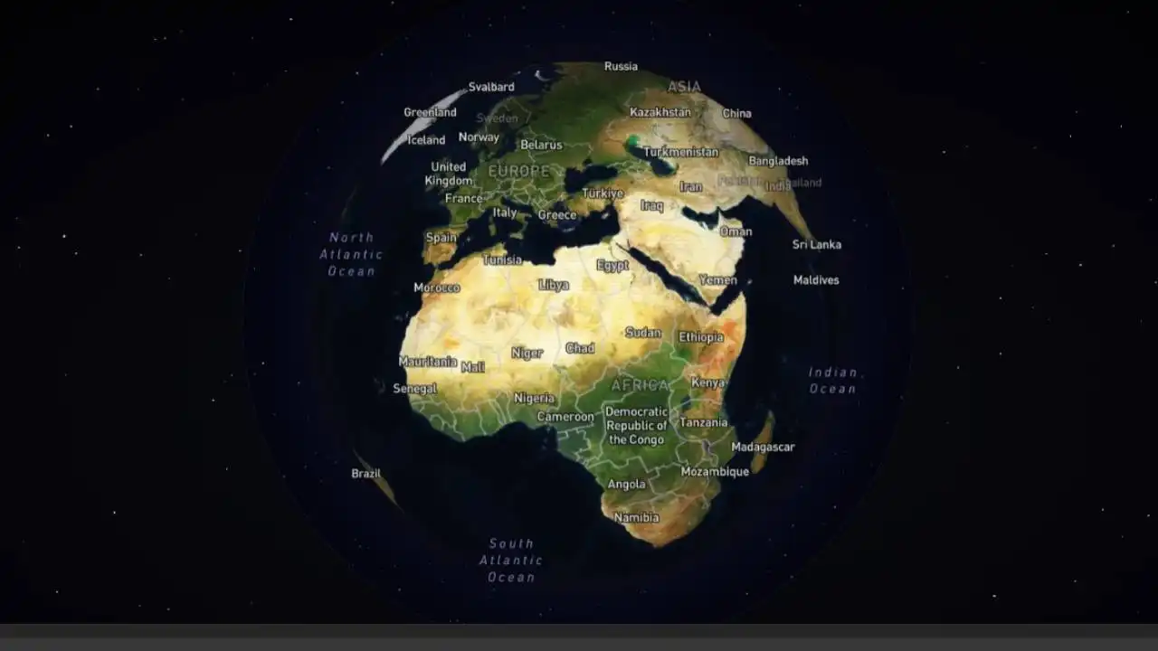
Traditionally, geospatial intelligence relied on satellite imagery, mapping systems, and layered geographic datasets. Today, however, a new frontier is emerging: extracting location intelligence directly from visual content. At the center of this shift is GEOX AI, a platform developed by TraceX Labs, which is redefining how enterprises approach geolocation analysis.
Understanding Geospatial Intelligence
Geospatial intelligence refers to the collection, analysis, and interpretation of data related to physical locations on Earth. It combines imagery, geographic data, and contextual information to produce actionable insights.
For enterprises, GEOINT is no longer limited to defense or government use. It now plays a role in:
Risk assessment and threat intelligence
Supply chain optimization
Infrastructure planning
Digital investigations and fraud detection
Market and environmental analysis
As organizations generate and consume vast amounts of visual data from social media to surveillance feeds the challenge is no longer data availability, but the ability to interpret it effectively.
The Shift Toward Visual Intelligence
What makes the current wave of innovation significant is the transition from traditional mapping systems to AI-driven visual intelligence. Instead of relying solely on structured geographic datasets, modern platforms analyze the content of images themselves to derive location insights.
This is where GEOX AI enters the landscape.
Designed as an enterprise-grade solution, GEOX AI leverages advanced computer vision and multi-agent AI to analyze visual cues such as architecture, terrain, vegetation, infrastructure, and cultural indicators. By interpreting these elements, the system can estimate and often precisely determine the real-world location depicted in an image or video.
GEOX AI: Enterprise Intelligence in Practice
Unlike experimental AI tools, GEOX AI is built for operational environments where speed, accuracy, and usability are critical. The platform enables users to upload images or video frames and receive detailed location intelligence within seconds.
Core Capabilities
Precise Geolocation — Identifies geographic coordinates using visual patterns and contextual clues
Interactive Satellite Mapping — Displays results on live satellite maps with multiple viewing modes
AI Reasoning Analysis — Provides structured explanations of how conclusions are reached
Multi-Result Intelligence — Returns multiple candidate locations ranked by confidence
Professional Report Export — Generates ready-to-use intelligence reports for enterprise workflows
With an average response time of under 10 seconds and high accuracy across landmark-based scenarios, GEOX AI is engineered for real-time use in high-pressure environments.
How Enterprises Use GEOX AI
The value of GEOX AI lies in its versatility across industries and use cases.
Key Use Cases
Digital Investigations — Identify the origin of images and videos in forensic analysis
Law Enforcement & Security — Support field operations and intelligence gathering
Journalism & OSINT — Verify the authenticity and source of visual content
Cyber Threat Intelligence — Analyze visual data linked to potential risks
Crisis Response — Locate incidents quickly using publicly available media
Missing Person Cases — Assist in identifying locations from limited visual evidence
By transforming images into actionable intelligence, GEOX AI reduces the time and uncertainty involved in traditional geolocation workflows.
How GEOX AI Works
The platform is designed with a streamlined workflow tailored for enterprise users:
Upload Media — Submit an image or video frame
AI Analysis — The system processes visual cues using multi-agent AI models
Location Identification — Results include coordinates, confidence scores, and reasoning
Review & Export — Insights are displayed on a map and can be exported as a professional report
This simplicity enables rapid adoption across teams without requiring specialized technical expertise.
Enterprise Access and Scalability
GEOX AI is built with enterprise deployment in mind. Access is provided to verified organizations through a structured system, with scalable usage based on operational needs. The platform supports high-volume analysis, global coverage, and integration into professional workflows.
With features such as credit-based usage, real-time processing, and structured reporting, GEOX AI aligns with the requirements of agencies and enterprises operating in mission-critical environments.
The Broader Impact
The emergence of platforms like GEOX AI signals a broader transformation in how geospatial intelligence is generated and applied. As artificial intelligence becomes more capable of interpreting visual data, the line between raw imagery and actionable insight continues to narrow.
This shift carries both opportunity and responsibility. On one hand, it enables faster investigations, better decision-making, and improved situational awareness. On the other, it raises important questions about how visual data is shared, interpreted, and understood in an increasingly connected world.
Looking Ahead
As enterprises continue to invest in AI-driven intelligence systems, the demand for tools that can extract meaningful insights from unstructured data will only grow. Visual content—once considered passive—has become a rich source of intelligence.
With GEOX AI, TraceX Labs positions itself at the forefront of this evolution, offering a platform that combines speed, precision, and enterprise readiness.
In the rapidly advancing field of geospatial intelligence, the ability to turn images into insight is no longer a novelty it is becoming a necessity.