Most people look at a map and see boundaries.
ADL saw potential. Not just where the land ends or where planes fly, but what could exist if the right data, vision, and technology came together.
In an age when governments scrambled for control, pilots trusted outdated charts, and farmers prayed for rain, ADL quietly built a nerve center in an unlikely place—Nasik. No glass towers. No venture-capital fanfare. Just a passionate team and a core belief:
Every inch of Earth could speak—if you had the tools to listen.
From that belief, ADL Coordinates was born and steadily expanded to Dubai, the city of dreams. What began as a small geospatial venture now does what few companies on Earth can:
- Digitize entire airspaces for nations.
- Modernize civil aviation infrastructure across continents.
- Make farmland visible to credit systems using satellite data.
This isn’t B2B. It’s B2N—Business to Nations.
The Global Footprint
The skies above Mauritius, the grounds of the UAE, and the sunlight over Indian rooftops are all shaped by ADL’s systems. ADL is the only Indian company whose geospatial solutions are certified by multiple international civil aviation authorities. It started with the conviction that data + geography + purpose could rewrite the way civilization moves.
And it has already gone far:
- Training UN and ICAO cohorts.
- Advising Middle Eastern aviation regulators.
- Digitizing land records across multiple Indian states.
- Enabling USD 100 billion worth of agricultural credit for Indian farmers.
Yet ADL continues to lead from Nasik the way it always has—with a whiteboard, a satellite feed, and a map that never stops updating.
Through ADL’s Journey, REAL Maps Took Shape as a Next Generation of Land Intelligence
From this foundation emerged REAL Maps—a next-generation platform created because of ADL’s pioneering work in geospatial intelligence. REAL Maps was designed to cater to the diverse industry segments that were knocking on ADL’s door: real estate developers seeking reliable cadastral data, banks delivering agricultural credit, infrastructure planners designing the next generation of highways, solar projects and tower transmission lines and insurance companies assessing risk at scale.
REAL Maps brings the accuracy and depth of ADL’s national-scale projects to businesses and institutions of every size. It transforms the complex language of satellites and land records into an accessible platform where decision-makers can act with confidence.
Scale and Reach
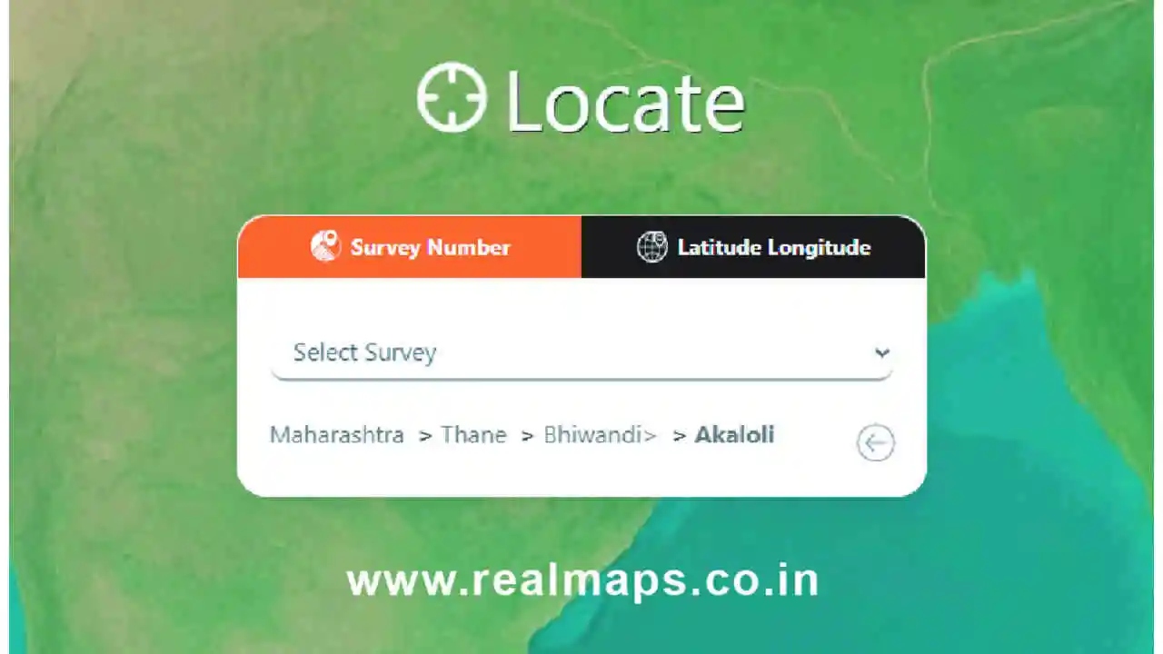
In just a short time, REAL Maps has expanded its presence to across India, mapping their cadastral survey numbers onto Google satellite imagery. This achievement delivers unprecedented transparency for landowners, bankers, developers, and policymakers alike.
The response has been remarkable: over 19,000 registered customers now rely on REAL Maps for their everyday decisions—whether it’s a farmer validating land ownership for credit, a bank assessing collateral, or a developer planning the next landmark project.
Adding to this momentum, REAL Maps has partnered with India’s leading banks to power their agricultural loan initiatives. What was once a time-consuming, paper-based process of verifying land records has been transformed into a seamless digital workflow. These collaborations enable lenders to evaluate farmland ownership and creditworthiness in real time, cutting loan processing times dramatically while giving millions of farmers faster access to much-needed capital.
Land Intelligence, Ready to Scale
The world is hurtling toward smart everything—cities, grids, mobility, and governance. But smart doesn’t start with apps. It starts with knowing where things are—and where they could be.
ADL Coordinates built the backbone. REAL Maps makes it usable for every sector. Together, they embody a new class of infrastructure: intelligence that underpins how economies grow and societies thrive.
From Nasik to Dubai, from national airspaces to the smallest village cadastral number, the journey continues. ADL and REAL Maps aren’t just charting the world as it is. They are revealing the world as it could be—one precisely mapped inch at a time.
For More Information
Visit Website : Real Maps